Visualisation
BSM's in-house visualisation team works across all project stages, collaborating directly with landscape architects, planners and external consultants to produce outputs that are accurate, consistent and useful at every point in the process.
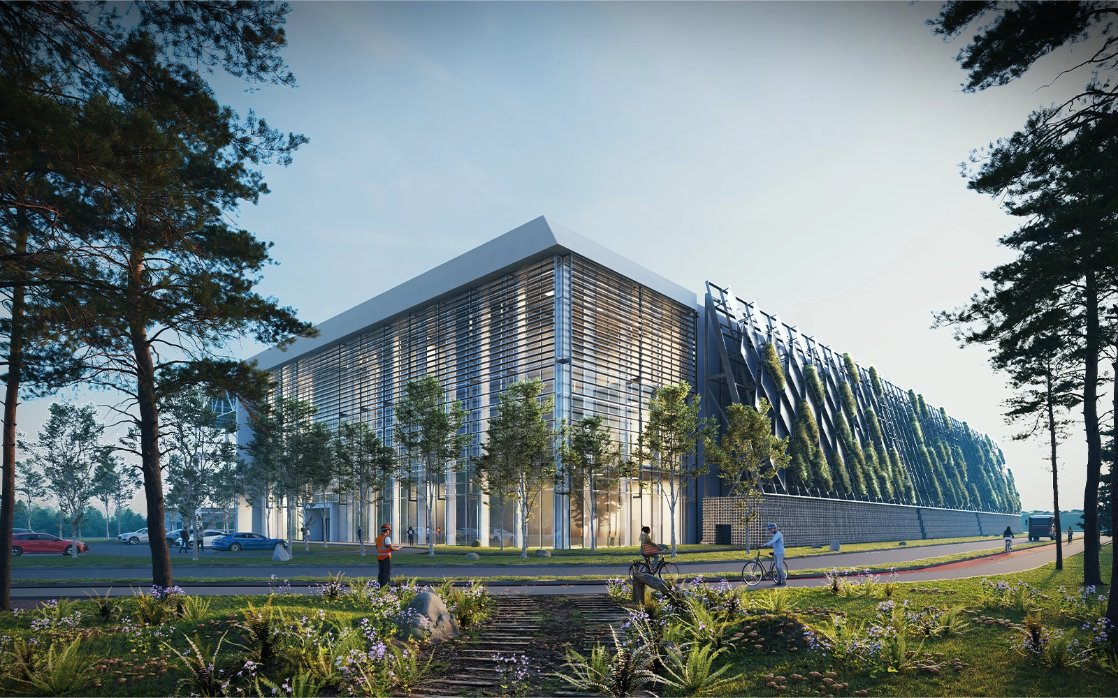
Accurate Visual Representations are produced using full-frame digital cameras, precise site survey data and a professional software pipeline including Microstation, 3D Studio Max and Photoshop. AVRs meet the technical requirements of the planning and EIA process and are prepared to a standard that can withstand scrutiny at all stages, including oral hearing.
The team also produces CGIs, photo-collages, animations, GIS analytical mapping and other graphic formats to communicate design proposals clearly to clients, planning authorities and the public.


